


 Photo Credit: National Weather Service
Weather
Montgomery County Weather Update: Tropical Storm Edouard approaching landfall at the Texas Louisiana border
On Tuesday, September 1 at 1:33 p.m. the Montgomery County Office of Homeland Security and Emergency Management shared the following weather update ahead of Tropical Storm Edouard approaching landfall at the Texas Louisiana border.
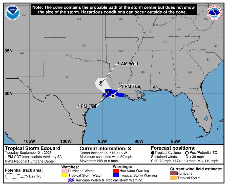
Tropical Storm Edouard is approaching landfall at the Texas Louisiana border and is expected to generally continue moving northwest overnight into tomorrow.
Our office just concluded a weather briefing with the National Weather Service and the primary concern at this point is heavy rain that will occur overnight and early tomorrow morning.
Rainfall totals of 3-5 inches are expected east of I-45 with the NWS saying isolated amounts of 10-15 inches can not be ruled out for those areas where wrap around feeder bands set up and train over the same areas. Exactly where that will occur is still uncertain.
Rainfall west of I45 is expected in the 1-3 inch ranges. With the caveat that wrap around feeder bands could drive up those estimates for the entire county including west of I-45.
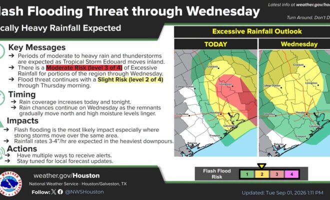
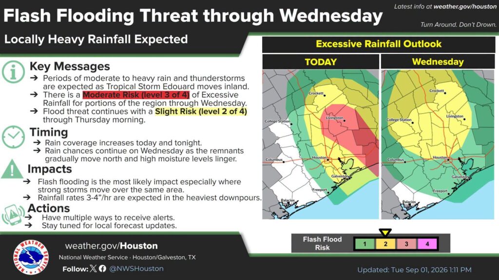
Because of the uncertainty the National Weather Service has placed all of Montgomery County in a slight risk for excessive rainfall today and tomorrow. Portions of the county east of I-45 are in a moderate risk for excessive rainfall through today.
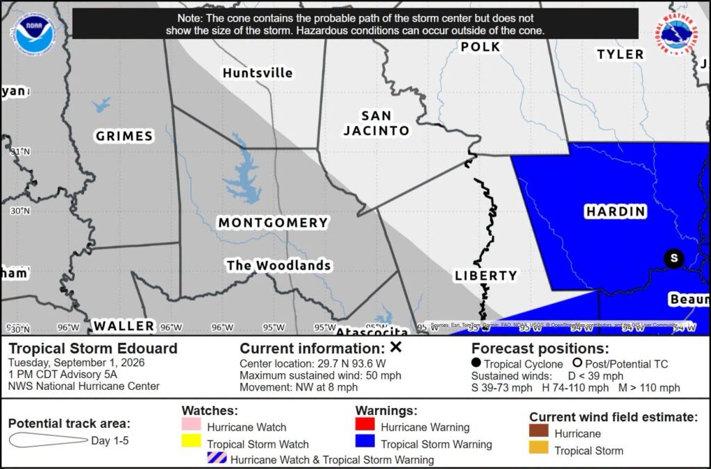
As a reminder the entire county is under a flood watch until 7pm tomorrow September 2nd.
Please stay weather aware and avoid any high water on roadways. Remember to turn around don’t drown.
Additional updates will be pushed out as needed our office is activated and will be staffed overnight.
Source: Montgomery County Office of Homeland Security and Emergency Management