

 Photo Credit: The Woodlands Township
News
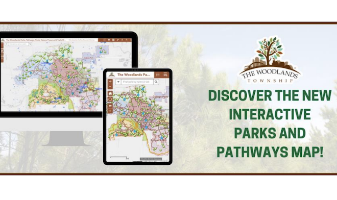
Township launches new interactive Parks and Pathways GIS Map
Hot weather has arrived and so has the new and improved Interactive Parks and Pathways GIS Map. Quickly find a park, pool or sprayground in the search bar, specify a search distance to find a park near your location, find your location on the map and much more! Visit the new map at www.thewoodlandstownship-tx.gov/pathwaymap or on TheWoodlands311 app. The Woodlands has 150 parks, including George Mitchell Nature Preserve, and more than 200 miles of pathways, along with numerous outdoor amenities. Get outside and start exploring!
The Woodlands Township Interactive Parks and Pathways GIS Web Map replaces the previous online map with new and updated locations, amenities and other features. Be sure to view the map legend as it lists much more than parks and pathways including, but not limited to: Boat Houses, fountains, dog parks, archery range, Texas TreeVentures, playgrounds, community gardens, volleyball courts, BBQ grills, fishing ponds, skate parks and public art.

To view the map online and for general instructions on how to use it, please visit www.thewoodlandstownship-tx.gov/pathwaymap. To access the map through your smartphone, download or update The Woodlands Township 311 app from Google Play or the App Store.
Please remember to observe social distancing and etiquette on the pathways and in the parks.
The Woodlands Parks and Recreation Department Rules, Hours and much more can be found online at www.thewoodlandstownship-tx.gov/parksandrecreation.
Source: The Woodlands Township